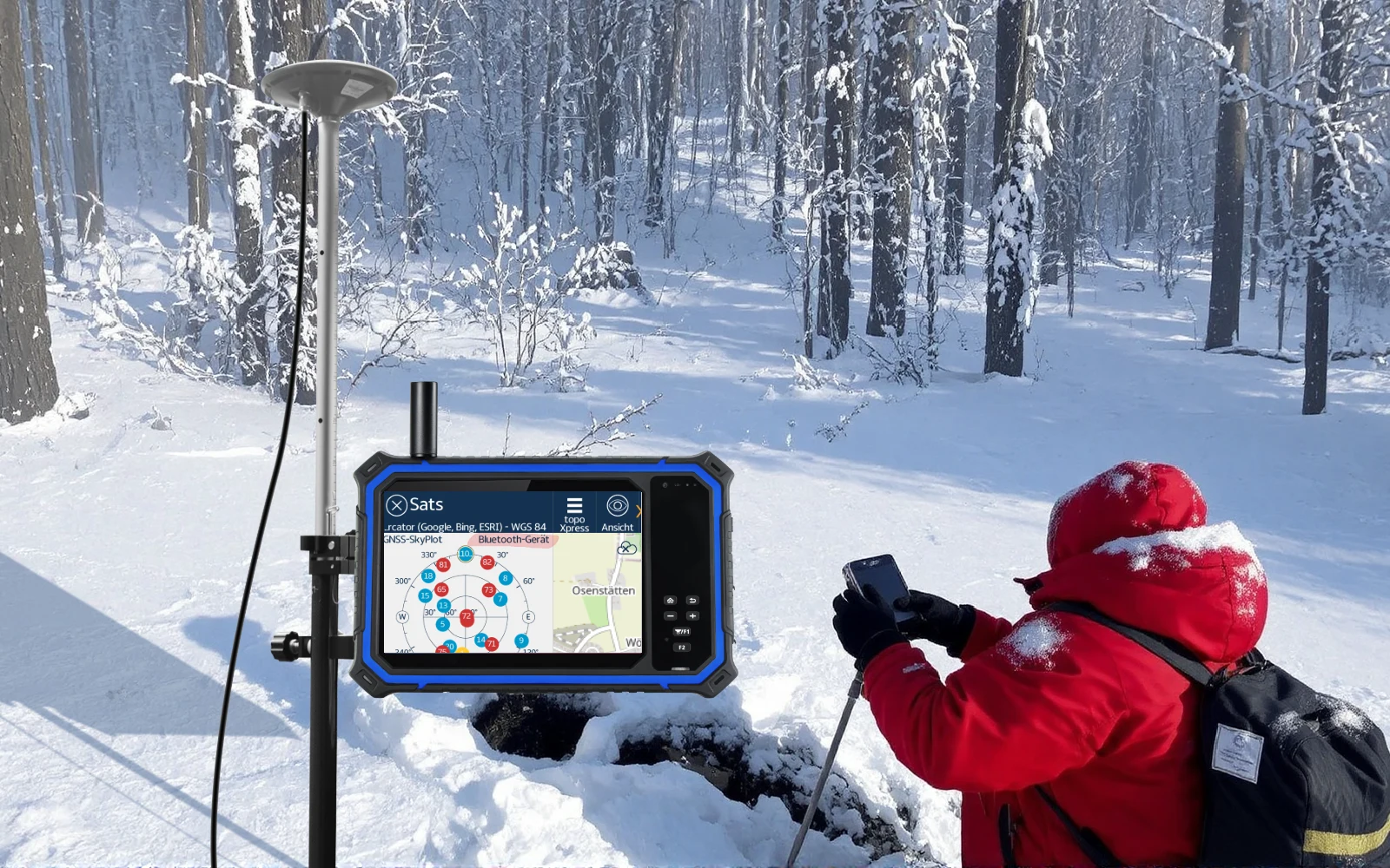
Start with the field workflow
Polar, high-altitude, desert and remote ecological research place different demands on temperature, sunlight readability, power and data integrity.
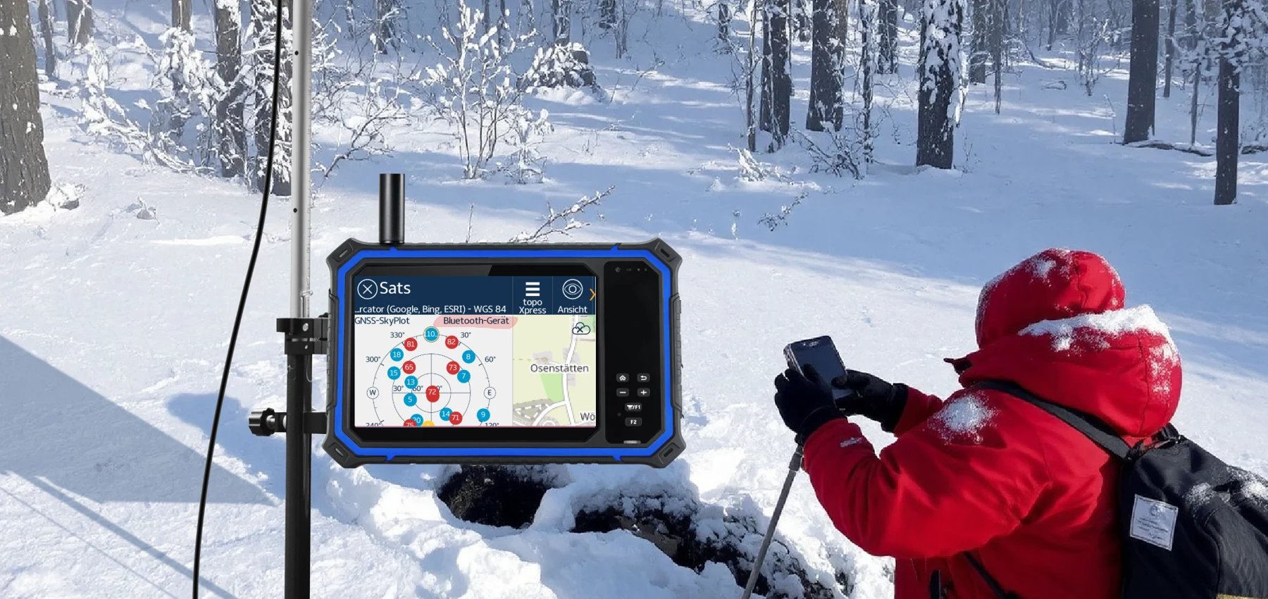
Workflow & system integration
Bring sampling forms, positioning, images and instrument readings into a repeatable field workflow. Plan offline operation before the team leaves network coverage.
Low-temperature operation and external satellite communication can be evaluated as separate engineering requirements. GNSS positioning does not itself provide satellite messaging or internet access.
What to prove in a pilot
• Cold start after a defined soak period, display response, batteries and recovery.
• Map readability, positioning method, required accuracy and reference coordinates.
• External communication module, antenna, service subscription and regional availability.
Bring the project team together
Operations defines the workflow and acceptance criteria; IT reviews integration and device management; EHS confirms operating conditions; procurement reviews supply, accessories and lifecycle service.
Next: validate the configuration on a real task
Share the task, environment, applications, peripherals and rollout size. Use a field pilot to confirm the exact device and integration.