Application & field conditions
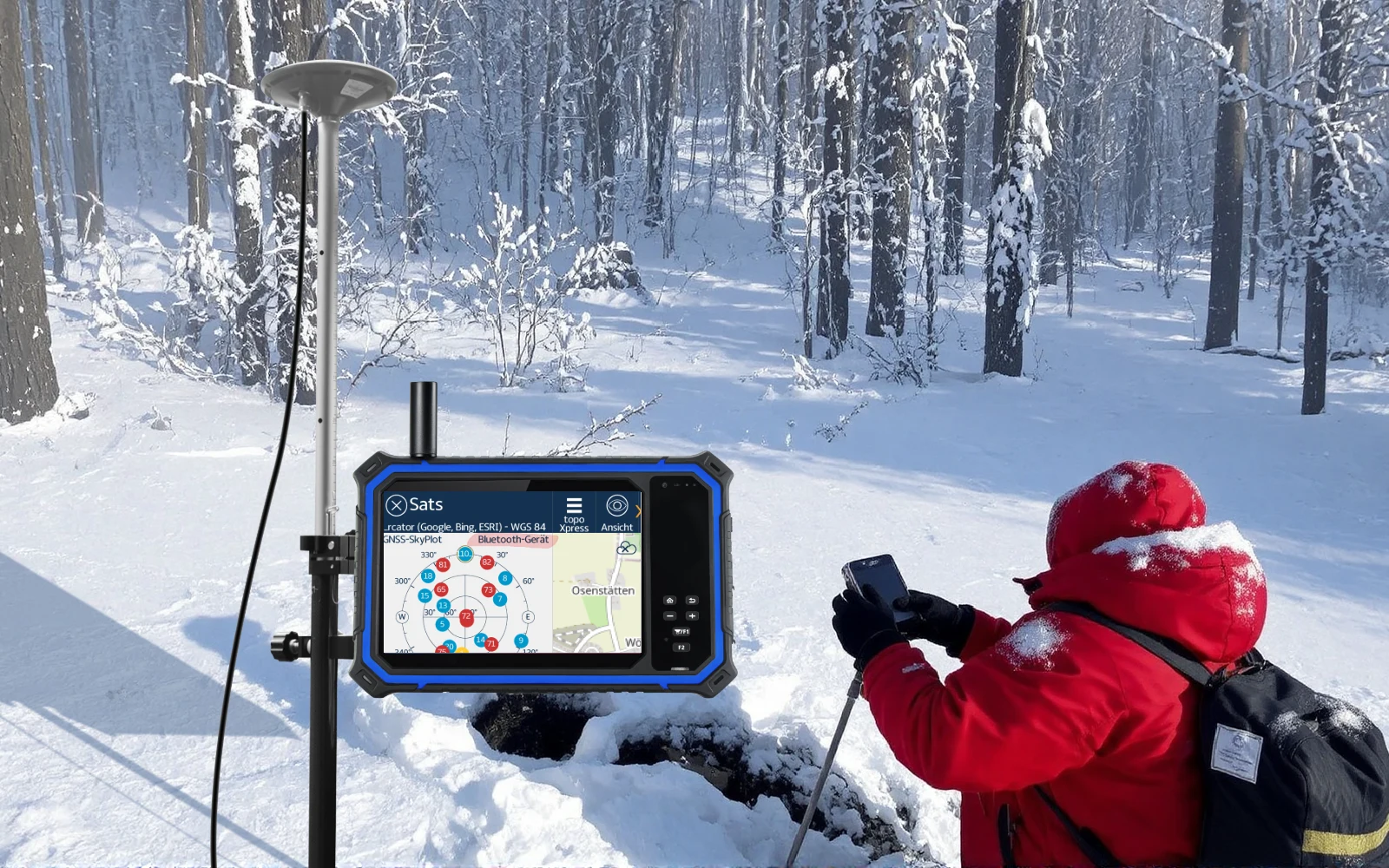
Remote scientific and infrastructure projects may need satellite messaging or data links beyond ordinary GNSS positioning. Availability depends on the external terminal or module, antenna, subscription and local permissions.

Workflow & integration scope
Define payload size, reporting interval, link budget, power, interface, operating region and failure behaviour. Test the complete communication chain under the actual sky view and weather; do not assume GNSS support means integrated Iridium or satellite internet.
Pilot acceptance checklist
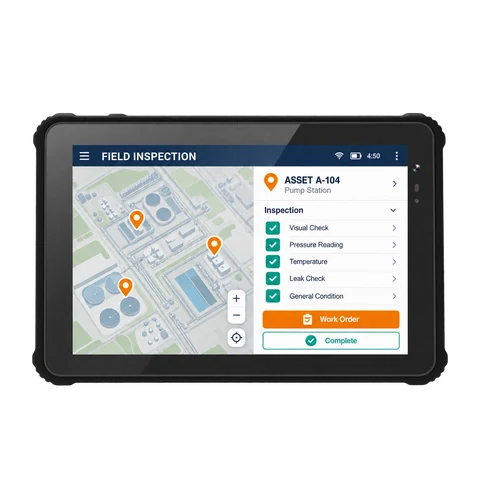
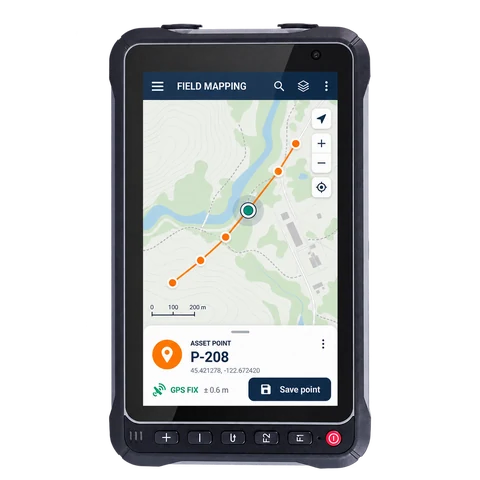
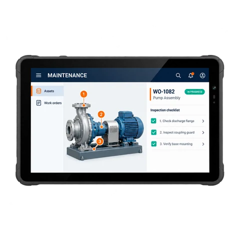
• Complete an end-to-end task using real assets, labels, forms and routes.
• Record task success, completion time, error recovery, connectivity and full-shift power.
• IT verifies model/version GMS / Android AER evidence, EMM and application policy; procurement confirms eligibility under the 1-year replacement, 3-year warranty and 9-year after-sales policy.